
I
From Wikipedia – Covering most of Mount Desert Island and other coastal islands, Acadia features the tallest mountain on the Atlantic coast of the United States, granite peaks, ocean shoreline, woodlands, and lakes. There are freshwater, estuary, forest, and intertidal habitats.
- Established: 02/26/1919
- Annual Visitors: 3,537,575
- Size: 49,075 acres
Acadia National Park Day One 7.24.2021
Gary and I have always loved northern New England. We both grew up in Vermont and lived in NH, ME and Vermont together. We lived in northern Maine, Presque Isle in Aroostook County, for two years where he was working as a project manager for Pizzagalli Construction Co. building a coal fired power plant at what was Loring Air Force Base. We also lived in Greenville, ME for two years while he built a wood fired power plant, on Moosehead Lake. And, Rangeley is named after Rangeley Lake in Rangeley, Maine where we are heading to in a couple days!
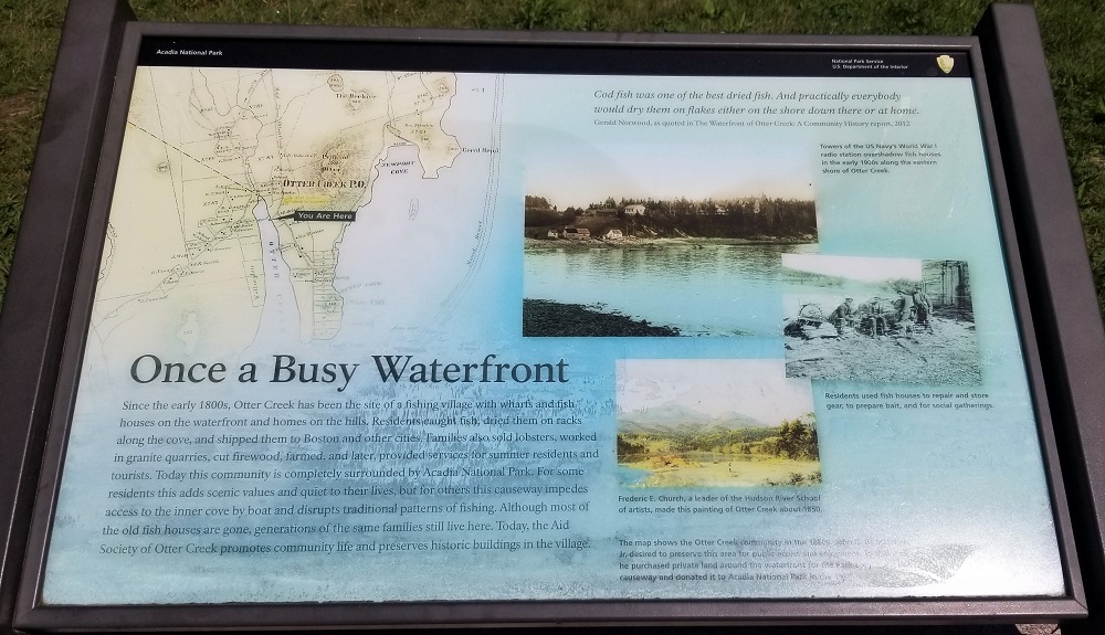
Acadia National Park has three locations you can visit. We stayed three nights in Ellsworth Maine about 20 miles from Bar Harbor, the best known and largest town next to Acadia National Park on Mount Desert Island. Pronounced by most in Maine like dessert – like a cookie or cake : ) The main portion of the park, and the busiest, most visited, is on Mount Desert. There is a section of Acadia NP located north east of Mt. Desert, south of Winter Harbor, Maine and another section of Acadia NP southeast of Mt Desert on Isle au Haut (pronounced I’ll-ah-ho) south of Stonington, Maine. We did not visit Isle Au Haut this time.
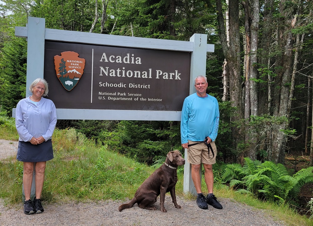
We decided to visit the only official visitor center in the park, Hulls Cove, at the northern part of Mt. Desert. I got my pin and postcard, stamped my passport book, and we took our traditional photo at the park’s welcome sign. Sorry, in advance, for a bit of negativity, but Gary and I were a bit disappointed in the simplicity of the sign. We have seen many beautiful welcome signs in all the 50 plus parks we have seen to date (see our other park’s welcome signs at the beginning of each park’s journal). Acadia’s welcome sign is down at the bottom for esthetics : ( I was expecting a granite or creative wood sign seeing as though the main mountain and high point (1270 ft in elevation) on Mt Desert, Cadillac Mountain, is made up of varying colors of granite and the interior of the island is all beautifully wooded. Unfortunately I was also a bit surprised that the gift shop at the only and main visitor center was small and had many empty shelves : ( Ok, back to my perky, positive self…
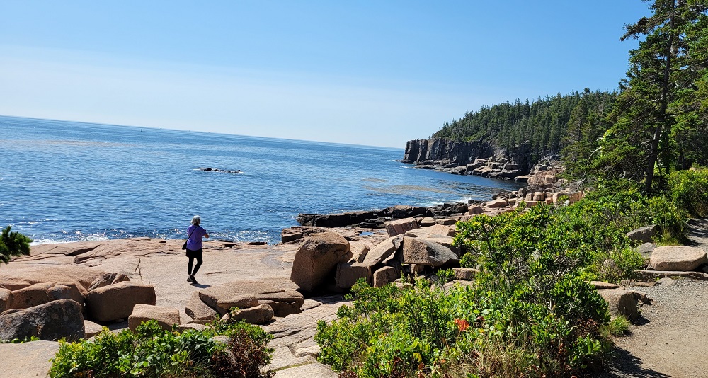
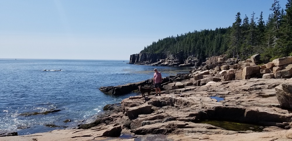
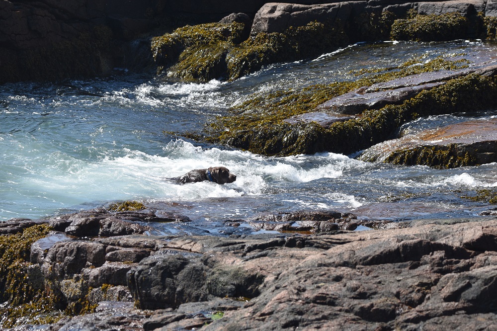
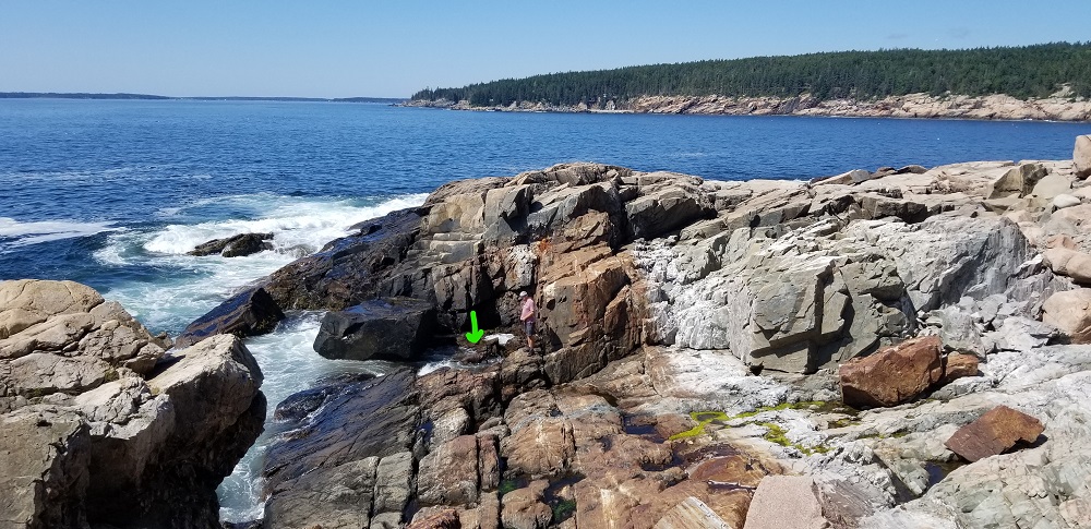
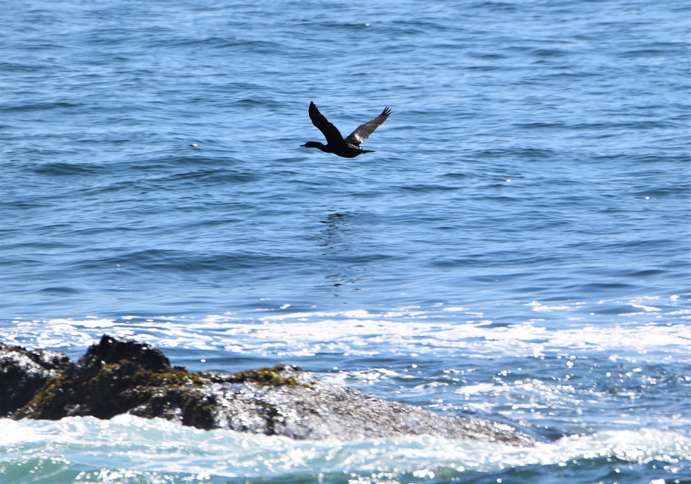
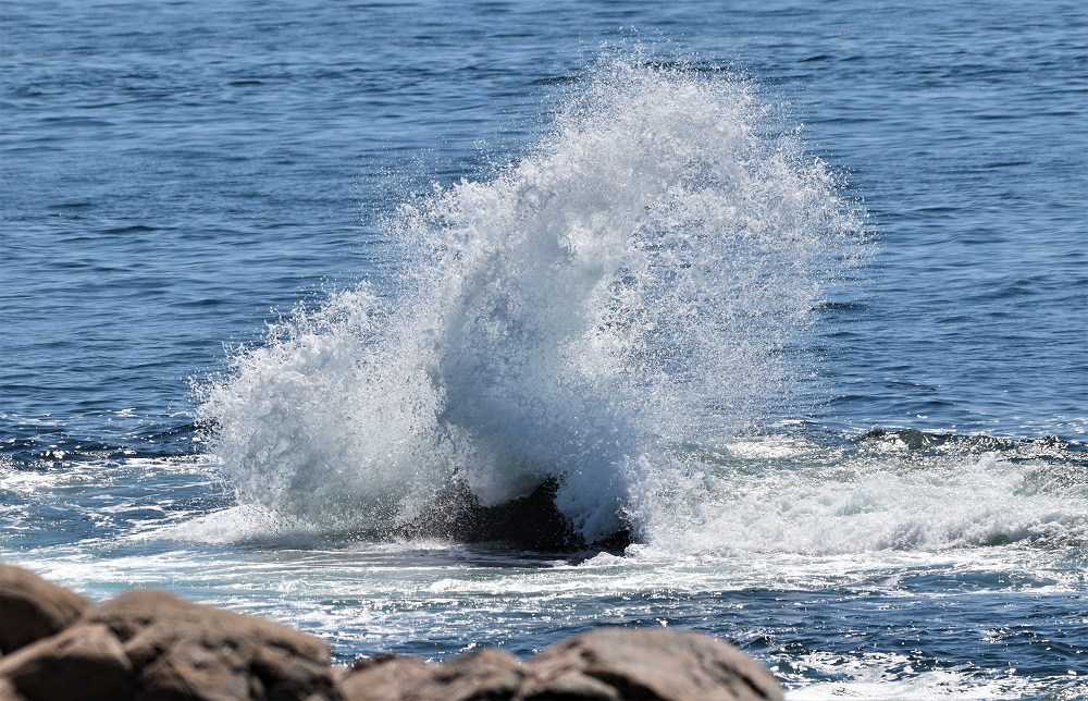
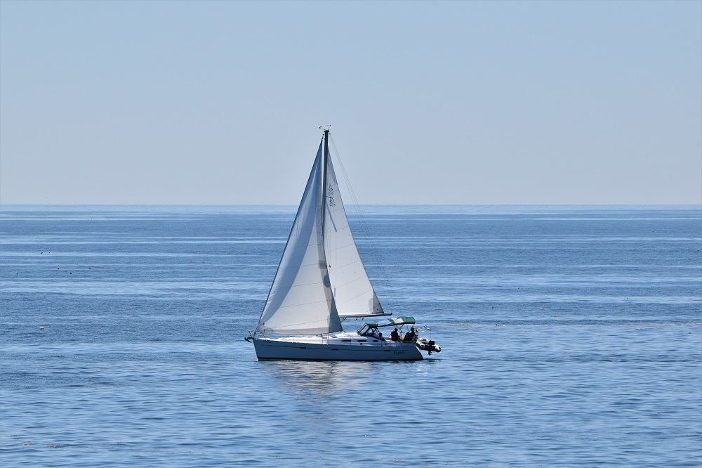
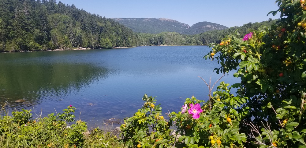
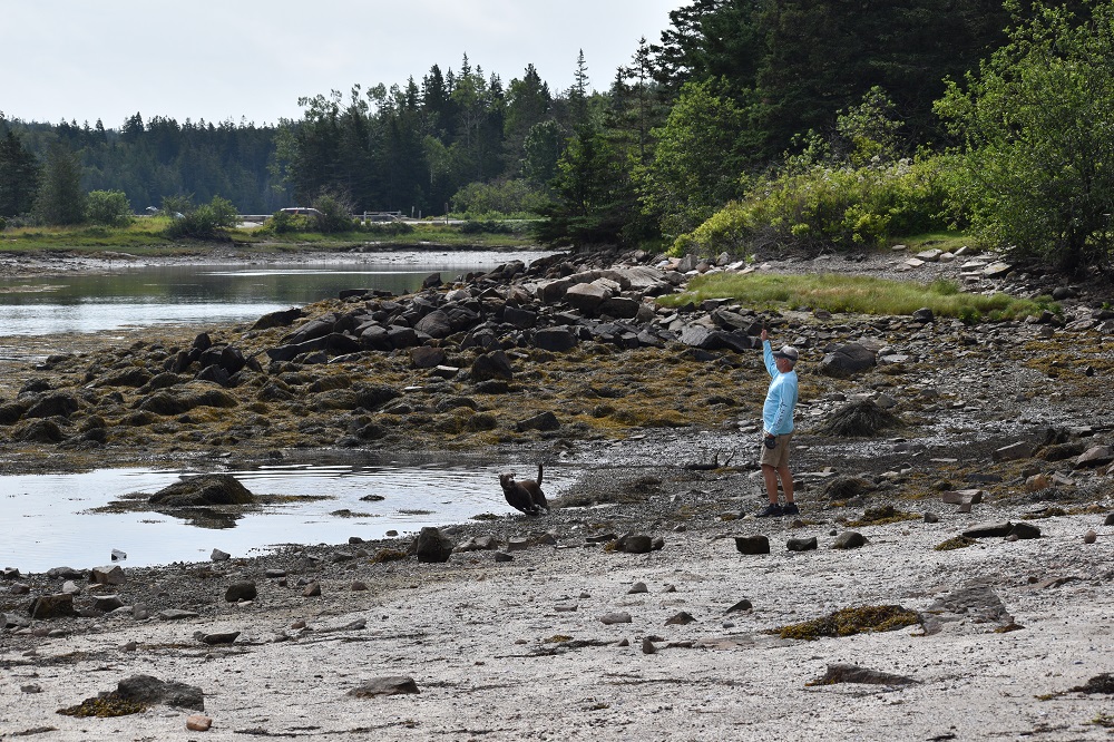
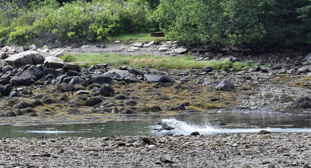
Our first adventure entailed driving The Park Loop Road. A roughly 27-mile scenic route around the eastern side of Acadia NP on Mt. Desert. We had originally wanted to drive up Cadillac Summit Road but after considering the other, less crowded options we wanted to do over the two days we are here, we did skip that driving accent this time. The mostly one-way, counter clockwise Loop Road takes you ocean side, through the woods, provides you many views of the Atlantic Ocean and many pull offs along the way. Sand Beach is very popular stop for visitors, locals, especially families, as you can swim and hang out there in the sun. We skipped this stop. Acadia is VERY dog friendly park and Sand Beach is one of the very few off limit locations for dogs. We continued to the Thunder Hole parking area. The shores of this side of the island are steep and rocky, seaweedy and slippery. But Rangeley found a way to get into the ocean. Gary watched him carefully but after looking up at me a couple times while Rangeley was pulled out and back in again with the wave’s, his seafaring legs were called back to safety and back to the car we went. His 8-minute body surfing fun took as much energy out of him as a 30-minute romp in a stream! I did get some fun pictures of rock climbers on top of the iconic Otter Cliff just down the shore from Thunder Hole.
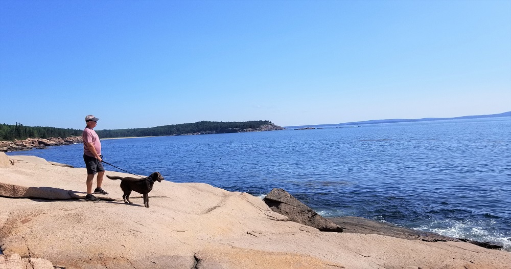
Just south of Otter Cliff is Otter Point…nope, I tried, but no sightings of actual otters : ( The views of the Atlantic were worth the stop as well as Rangeley’s happy face when we let him swim in the ocean again!
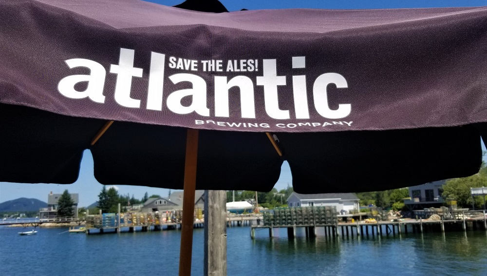
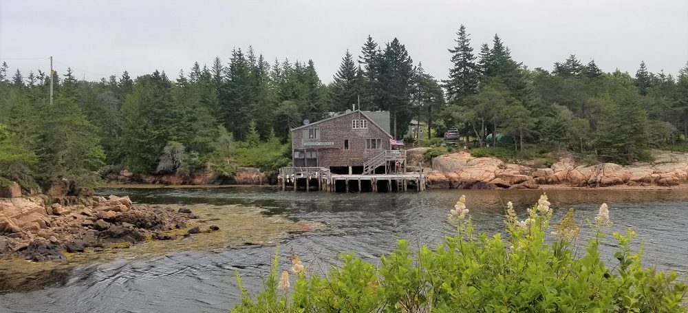
The Loop Road heads inland, northeast towards Bar Harbor but we chose to cut off to the west towards Northeast Harbor, population 488 : ) We randomly found a great waterside restaurant that was happy to seat Rangeley on their patio. They had craft beer and lobster on their menu, no need to look ant further!
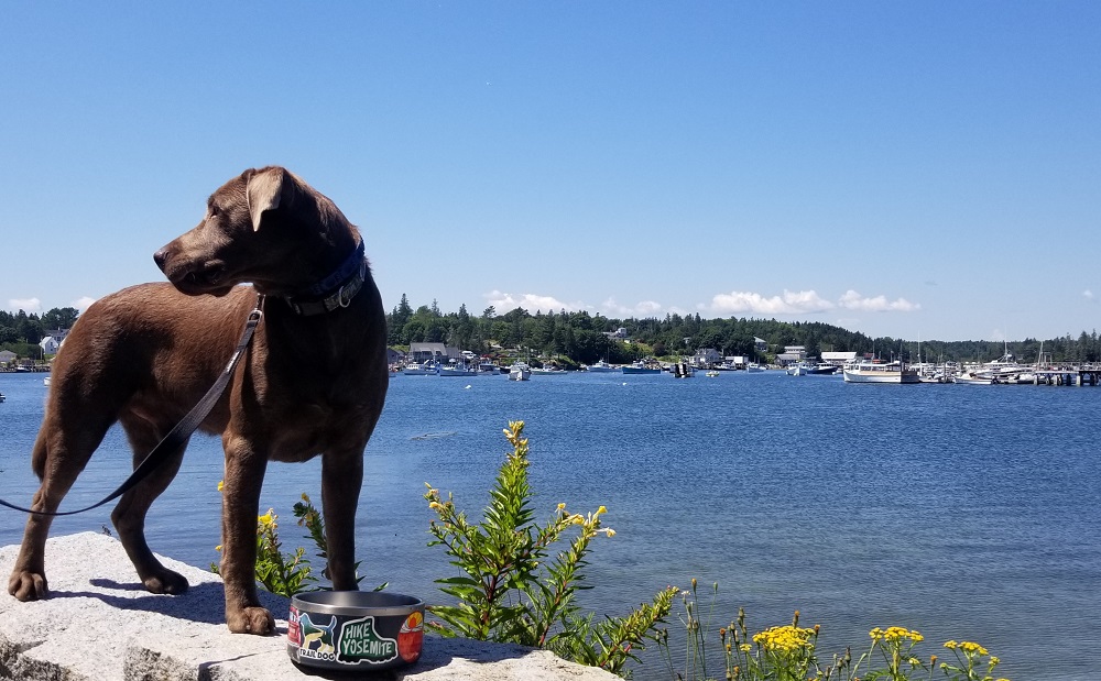
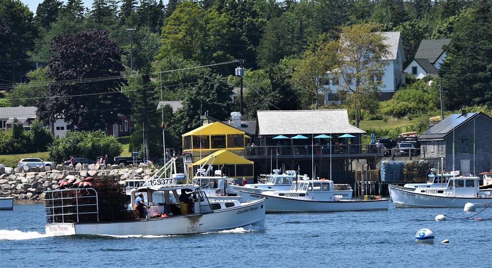
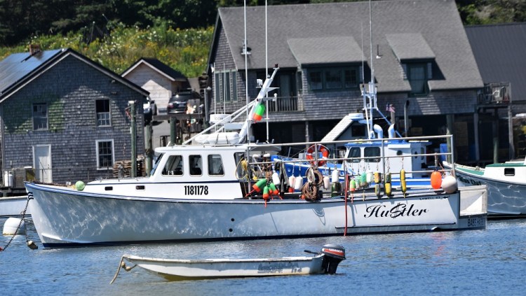
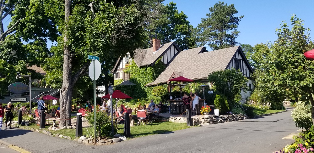
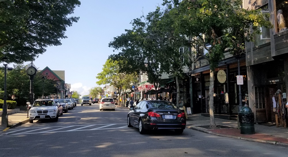
Bar Harbor, here we come. We knew it would be busy as it is a cool little coastal town of 5,500 residents and 222,000 visitors from cruise ships in the fall. The summer vacationers on this Saturday afternoon were just enough on the quaint streets of cafés, souvenir shops, local art galleries, inns, hotels, bakeries, taverns, lobster pounds (where live lobsters are kept), whale watching and more! Gary and Rangeley hung out at a town baseball field, complete with a stream! And I walked the shops, got a wonderful ice coffee and bought a couple tee shirts for Gary and I. The clientele in this area is a bit different than some of the other parks…most of the other parks. The basic hotels (not high-end hotels) such as Holiday Inn or Quality Inn are $500 a night in Bar Harbor. Our Comfort Inn in Ellsworth 20 miles from Bar Harbor is $300 per night with the dog fee! I enjoy visiting these tourist type towns but I am grateful for us staying in a bit larger town (Ellsworth has a pop. of 7,900 with large grocery stores) and not paying $500 a night!
We headed back to Ellsworth, took a nice evening stroll on the section of the East Coast Greenway right behind our hotel. The ECG is a bicycle path that goes from East Calais, Maine to Key West, Florida. There are nesting eagles and osprey that we saw, about ½ mile from the hotel, in a protected marsh. Unfortunately the sun was setting (about 8:30PM) and I only had my phone, not clear enough for pics but clear enough for visual memory : )
Acadia National Park – Day 2 July 25, 2021
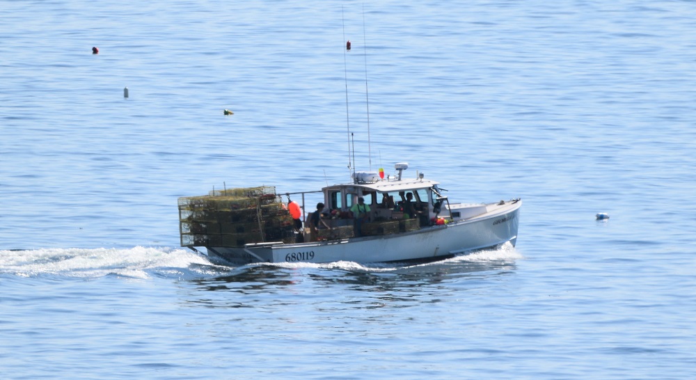
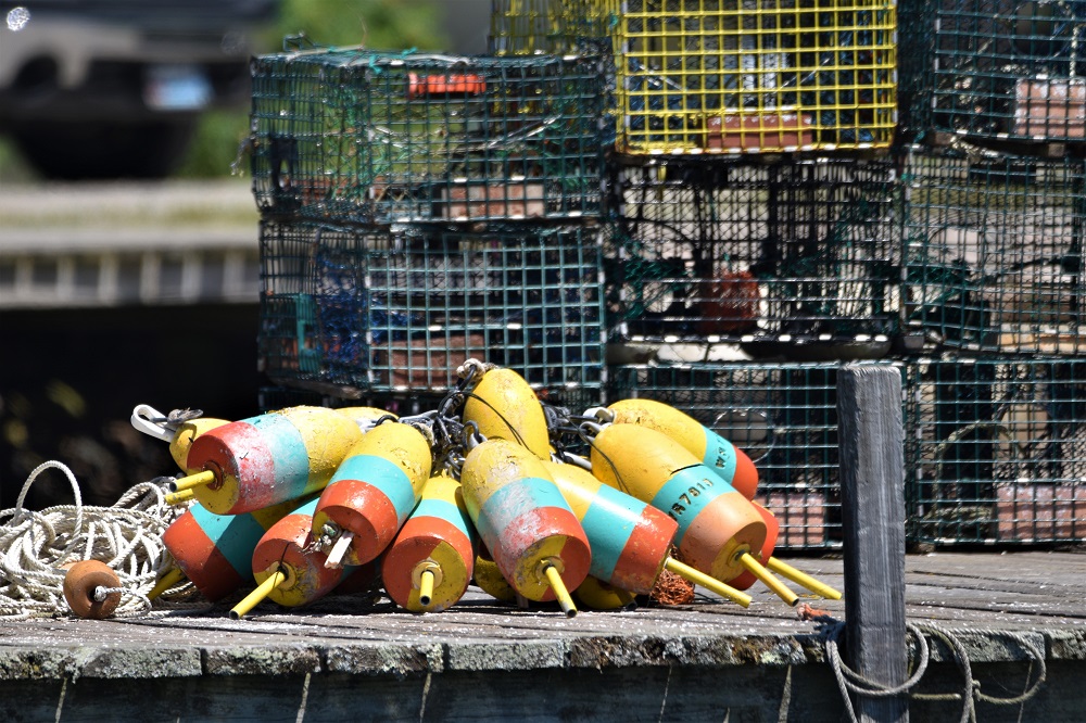
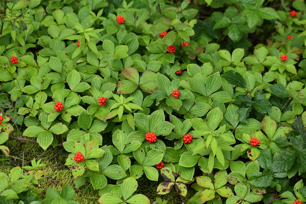
Today we headed to the Schoodic Peninsula, Winter Harbor, ME, to reach the northeastern section of the park. From Ellsworth it’s about 25 miles of lovely, quiet, rural roads. It was 8:30AM on a Sunday morning and Gary and I were so glad to have the Schoodic Scenic National Byway, Route 1 Coastal Route, almost to ourselves! We passed soon to be open ice cream stands and Lobster shacks – outdoor picnic table type stands selling lobster rolls and the like. There is a lot of firewood sold along the roads throughout the Acadia area. There are written warnings in brochures not to bring your own wood for camping due to bugs in the trees from other places that are not on the islands and peninsulas here. We also have been seeing lots of American flags flying, yes because it’s July, but also on wood signs in people’s driveways and lawns, painted on sides of buildings and along side the “Open” banners of businesses. Great to see!
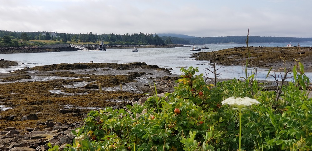
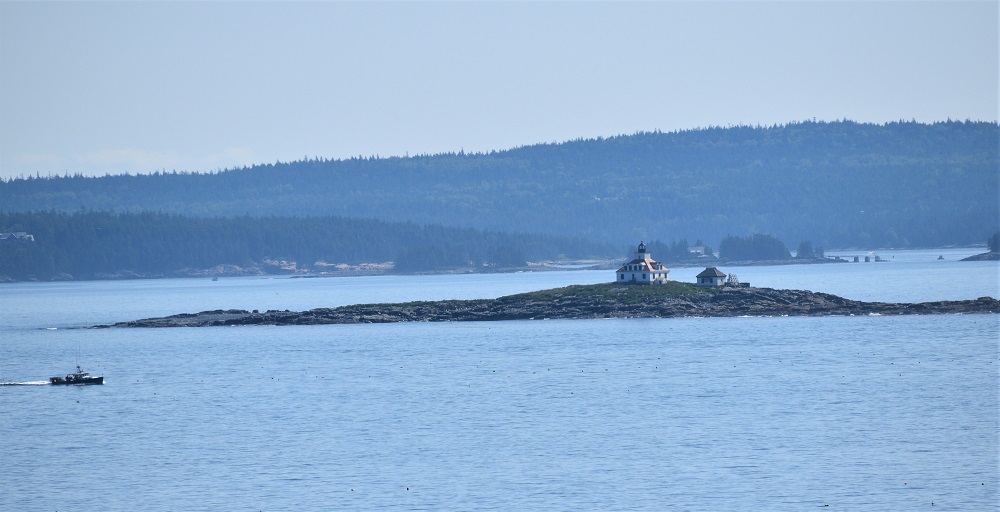
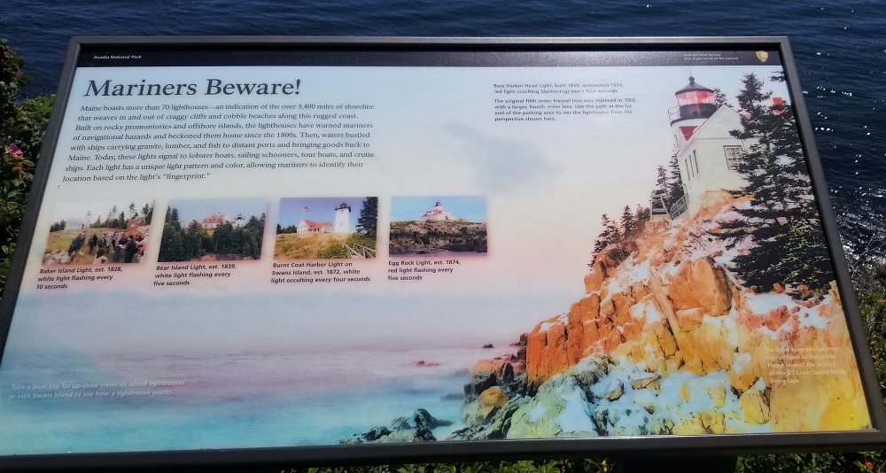
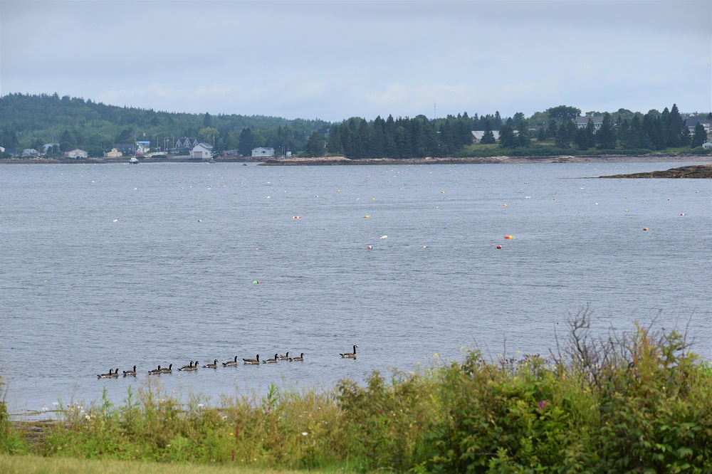
The first town you come to before the entrance to the Schoodic Peninsula section of Acadia NP, is Winter Harbor. The area was incorporated in 1789 and Winter Harbor separated to become a town in 1895. We scouted out some restaurants for lunch later and headed into the park. Frazer Point allows for nice views of Winter Harbor, the water harbor not the town. South of there is the Winter Harbor Light. A lighthouse on Mark Island. I took pictures today but the over cast skies made for some drab looking photos. It is what it is, it was still a lot of fun to tour this part of the quiet side of Acadia. A volunteer at a ranger welcome center suggested we take a dirt road to the high point on the peninsula at 440 ft above sea level. The foggy view made for a quick stop but the forested inland of the peninsula is lush.
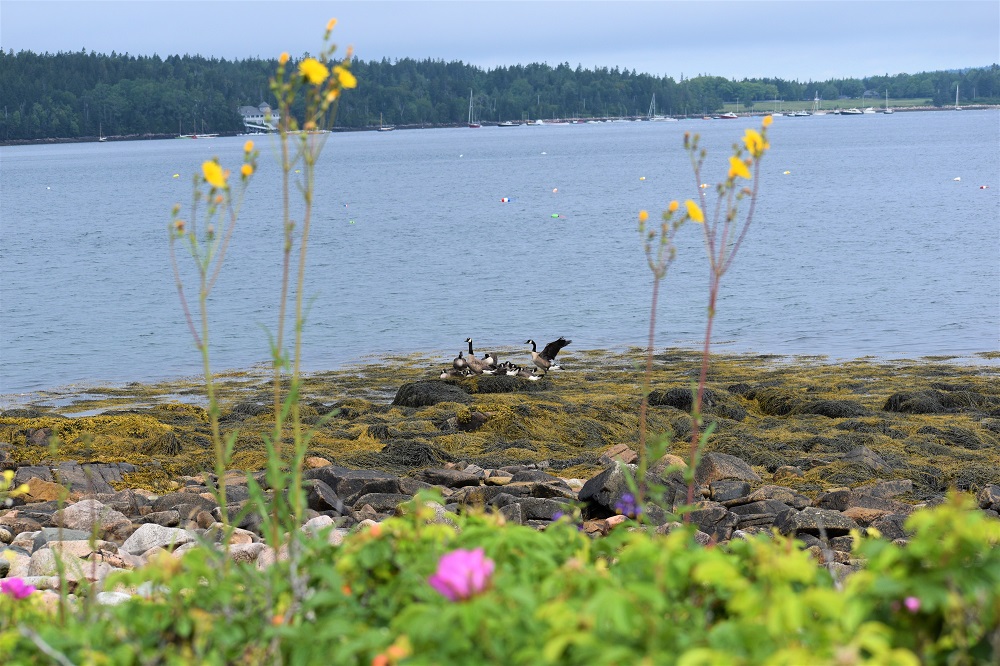
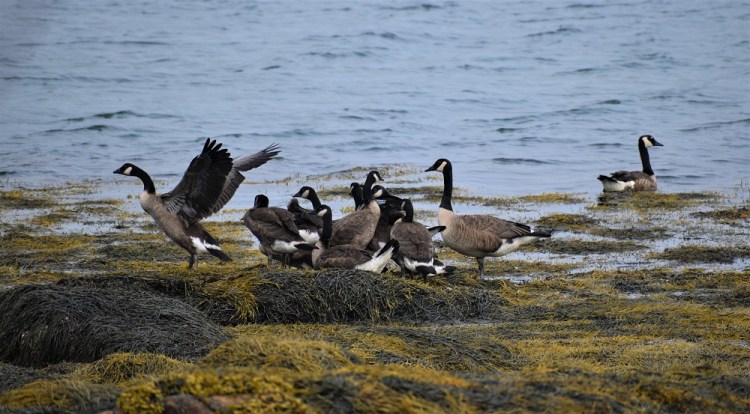
We drove to the southernmost part of the peninsula on Big Moose Island and Schoodic Point enjoying the ocean views and waves crashing on the large rocks lining the shore. Little Moose Island can be reached by foot at low tide but we were a bit too late to do that. Next time! Blueberry Hill gave us a view of Schoodic Island, a bird sanctuary in the summer, while many species are nesting. Pictures, even with our 600mm zoom, did not come out due to grey skies and a bit too much distance between me and the birds.

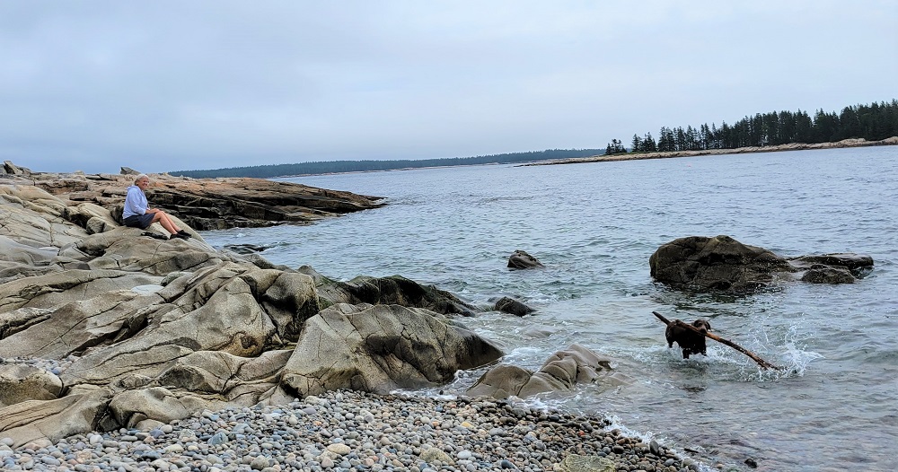
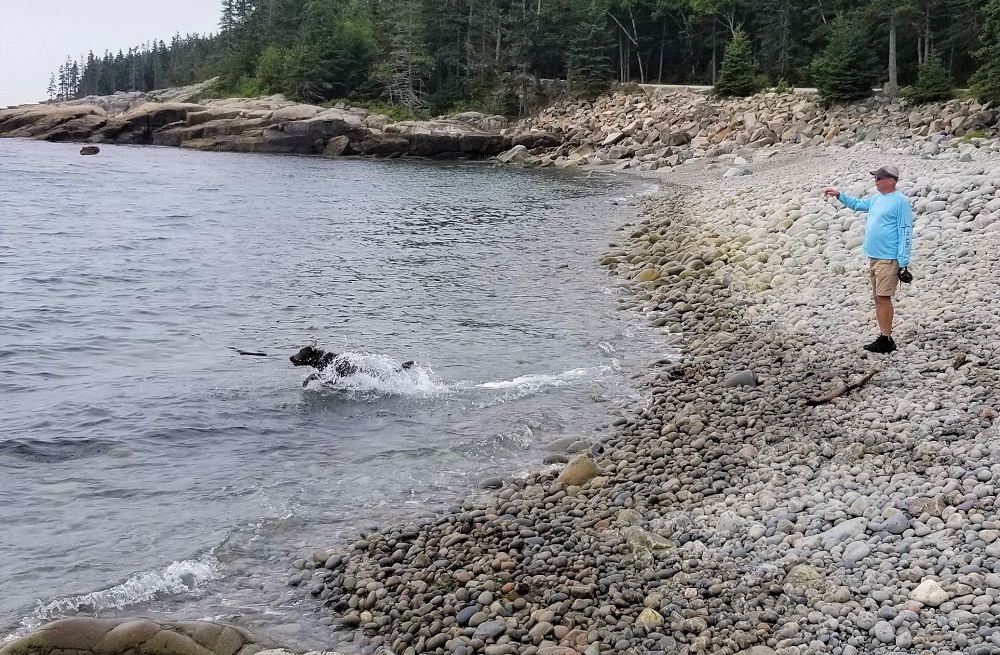
Continuing on the two lanes, one-way paved drive around Schoodic Loop Road we saw a family on bicycles. The parents and two grade school age daughters from Michigan were enjoying Rangeley on the rocky beach that we had just stopped at. The two girls threw the sticks into the water laughing and enjoying Rangeley’s persistent retrievals and dropping the wood at their feet. Soon, they got back on their bikes, we in our car, not knowing we would cross paths again!
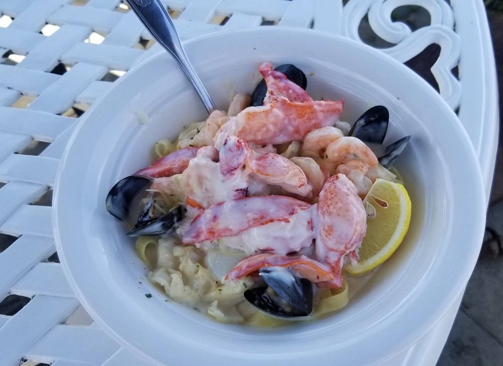
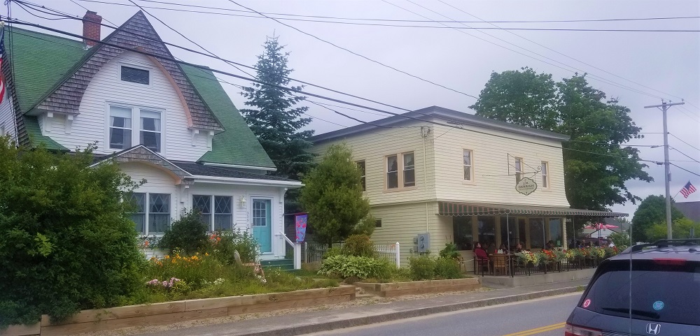
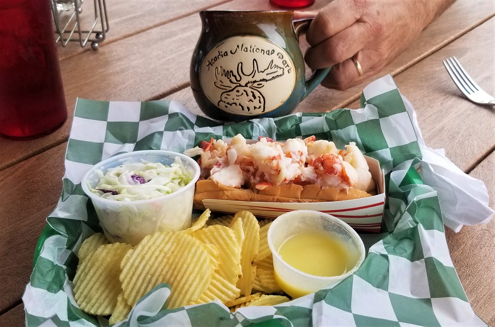
We passed through the little town of Birch Harbor and back to Winter Harbor. We drove into town, parked and entered the J.M. Gerrish restaurant with great front porch seating. We witnessed locals, seasonal residents and visitors as the waitresses chatted with them between taking and delivering the wonderful food. A cappuccino and lobster roll for me and hamburger for Gary. We were soon greeted by our family from the rocky shores an hour before. It’s always fun to meet up with fellow travelers multiple times : ) The mom noticed Rangeley sleeping on the front porch under our table and the girls soon followed, waving hello! I visited the local country 5 and 10 general store and the small antique and gift shop, Rangeley romped in the field nearby. The forecast was for rain about noon. Just as were about to leave our adventures for the day, the rain began. Perfect timing.
We then set off, back to the hotel to write this journal, do laundry, rest and plan our next adventure. We are meeting up with our AT friends in Rangeley, Maine, our dog’s name sake, to do more trail magic and enjoy a few nights at the Town and Lake Motel on Lake Rangeley. More on that under “Roaming Rangeley” in a few days!
Not all those who wander are lost.
J. R. R. TOLKIEN
About Us
Visitors will want to know who is on the other side of the page. Use this space to write about your business.
